Generate geojson from GTFS
OR
GTFS-to-geojson Options
View DocumentationBoth points and lines for stops and routes.
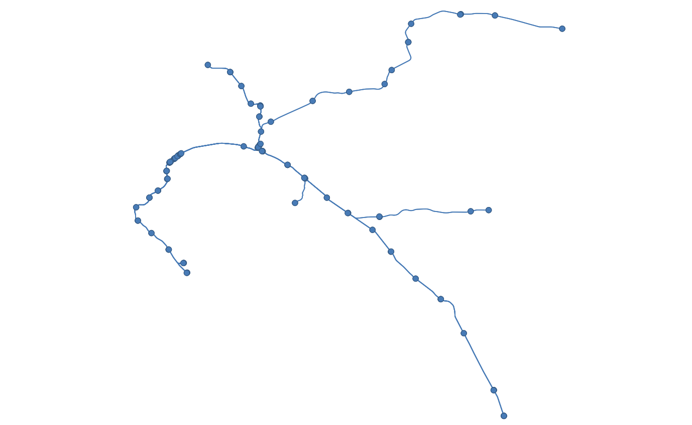 Example output for
 lines-and-stopsDownload Example GeoJSON
View Example on geojson.io
Output one geoJSON file with all routes for a single agency combined together.
About GTFS-to-geojson
🚆
GTFS-to-geojson converts transit data from GTFS format into GeoJSON, making it easy to visualize a transit network on maps.
🚍
Create interactive map visualizations of transit routes and stops, with options to display either or both.
⭕
Create service area analysis by generating customizable buffer zones around stops or along routes.
Get in Touch
✉️
Need help implementing GTFS-to-geojson or want to discuss how it can benefit your agency? Contact our team at gtfs@blinktag.com.
We'd love to hear how you're using GTFS-to-geojson! Share your story with us.
We'd love to hear how you're using GTFS-to-geojson! Share your story with us.